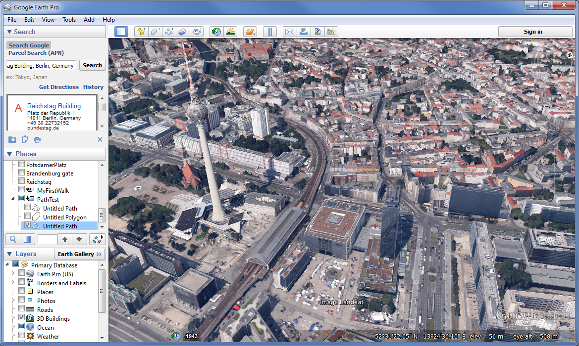
It’s been a while since Google Earth Pro was made available for free (unlike the basic free version, it used to cost a few hundred dollars). The Articulate weekly eLearning challenge #86 gave me the nudge I needed to set aside some time and see how Google Earth 3D maps could be integrated into a Storyline project.
Google Earth Pro is an application for PC/Mac that not only lets you browse maps, but also provides functions to set up tours and record them. There are tons of tutorials and YouTube videos available that describe the various Google Earth Pro functions.

I created three variations of 3D maps:
1. An animated map (‘tour’) that shows views of Points of Interest
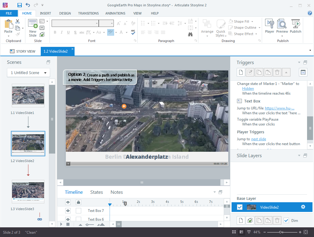
2. A ‘fly over’ tour that is based on a path you can draw on a map
3. A recorded rotation around a landmark, which was then exported as a sequence of images, rather than a video.
I then added these videos and images to a Storyline project.

The first variation is really just a video with some text labels for the various land marks. The second variation provides some more elements, e.g. a marker, and text labels that are displayed in synch with the video. For the third variation, I added a Storyline slider and an image object with custom states that are displayed based on the changing value of the slider variable.
Google Earth maps may be useful for geography tutorials, virtual city tours and other types of tutorials.
I could have optimized the videos and images to reduce the rather bulky file size of the Storyline project, but then again I just wanted to do a quick test.
Here is the final version of the testfile. Be patient, it’ll take a while to load!
